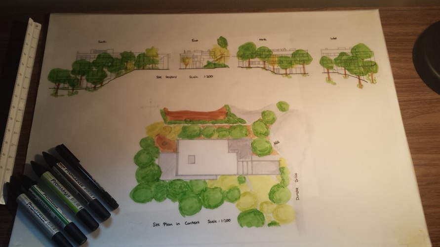
Site Plan and Sections in 1:200 Scale - Tom
Feedback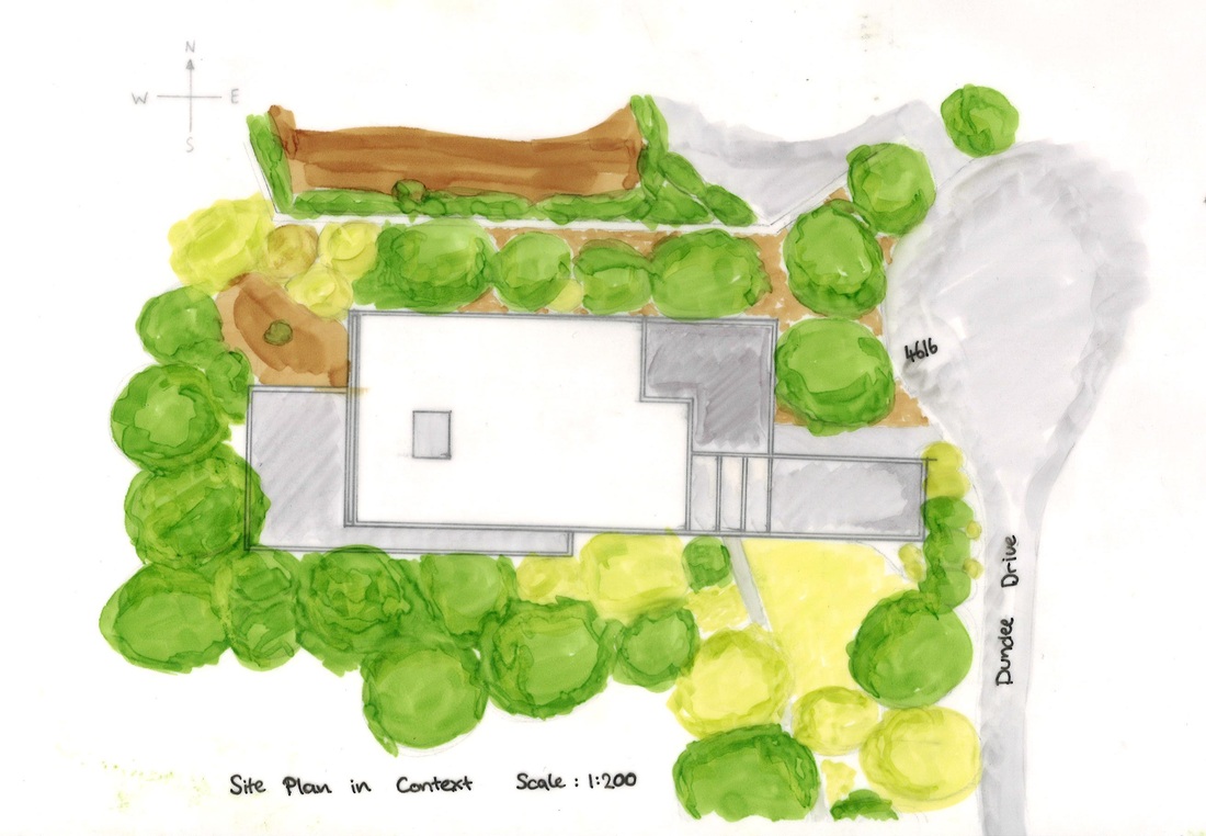
|
I started by scaling down the one elevation we did have to 1:200 and tracing over it, only tracing in lines that were relevant to what I was drawing, I then used this in conjunction with other plans and images to create the other three Site Sections. I then inked these up in three different sized black pens.
For the Site plan I used GoogleMaps to justify the shape of the building and scaled from the site sections to create the birds eye view. Then on a separate sheet of tracing paper, over the top of the original sheet, for effect I colored the surrounding trees, housing and roads to show the depth of the site plan. |
In the critic session with the rest of the first year we had the chance to gain valuable feedback from students and tutors we will post all feedback below our work to show where we can improve and what we got right.
|
Pros
|
Cons
|
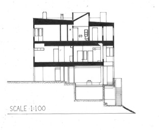
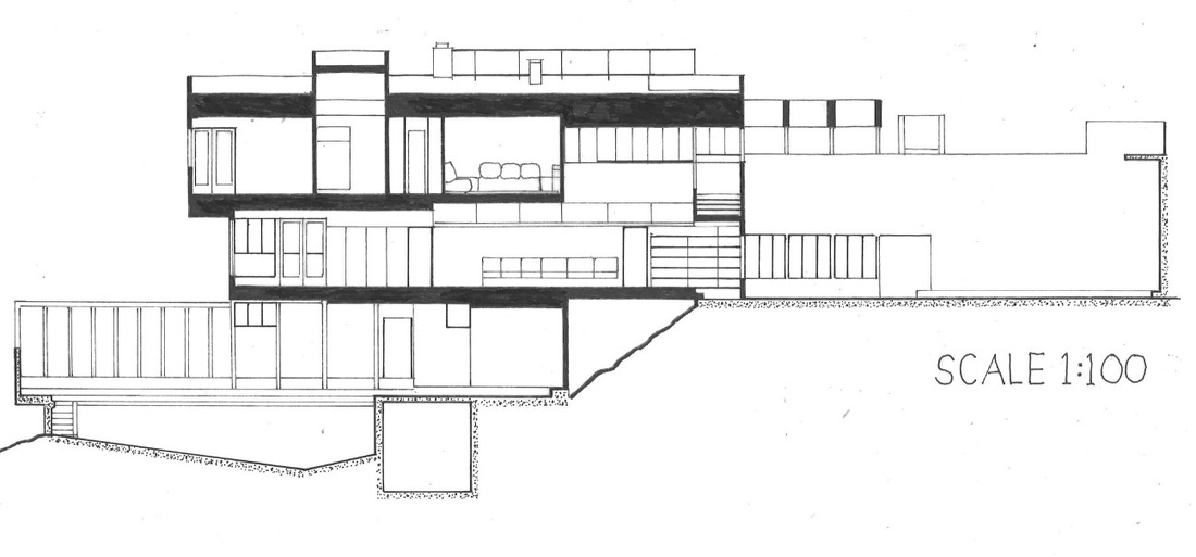
Sections of the House in 1:100 Scale - Alex
|
|
Feedback
|
Pros
|
Cons
|
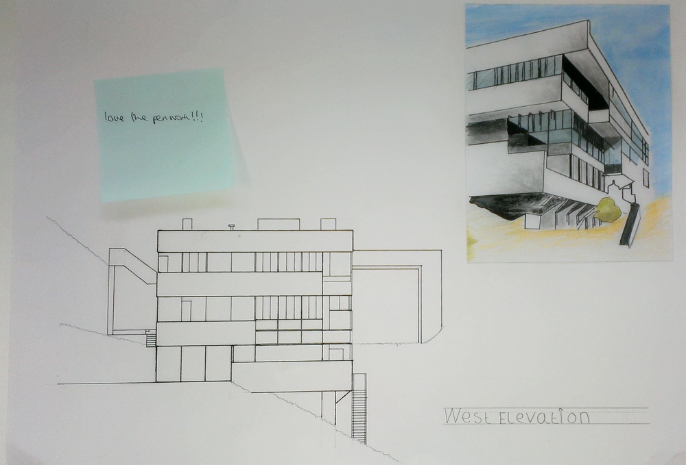
Elevations in 1:100 Scale - Simon
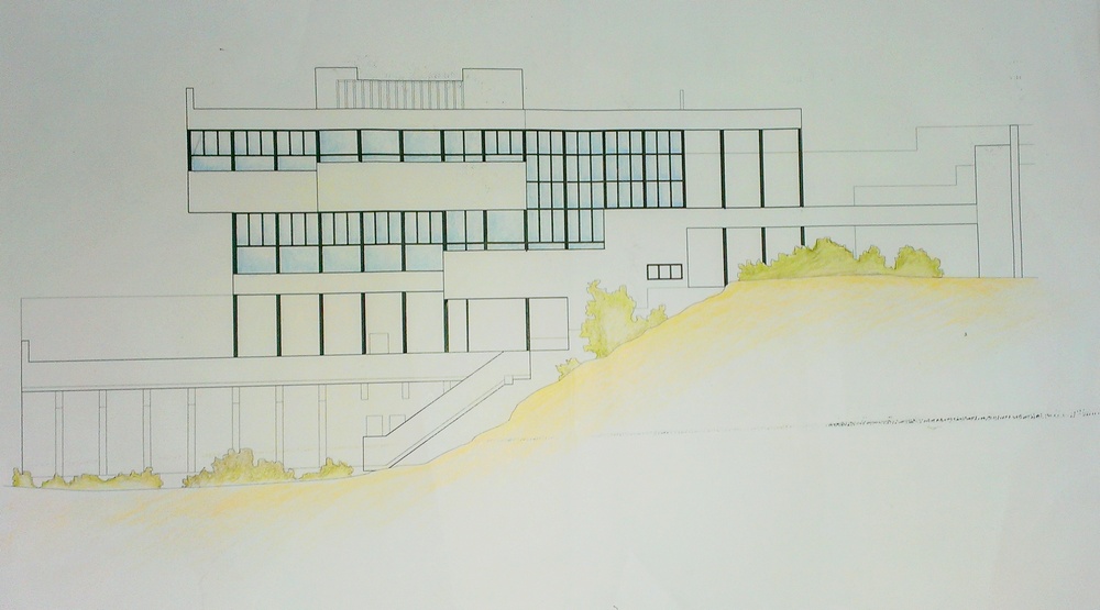
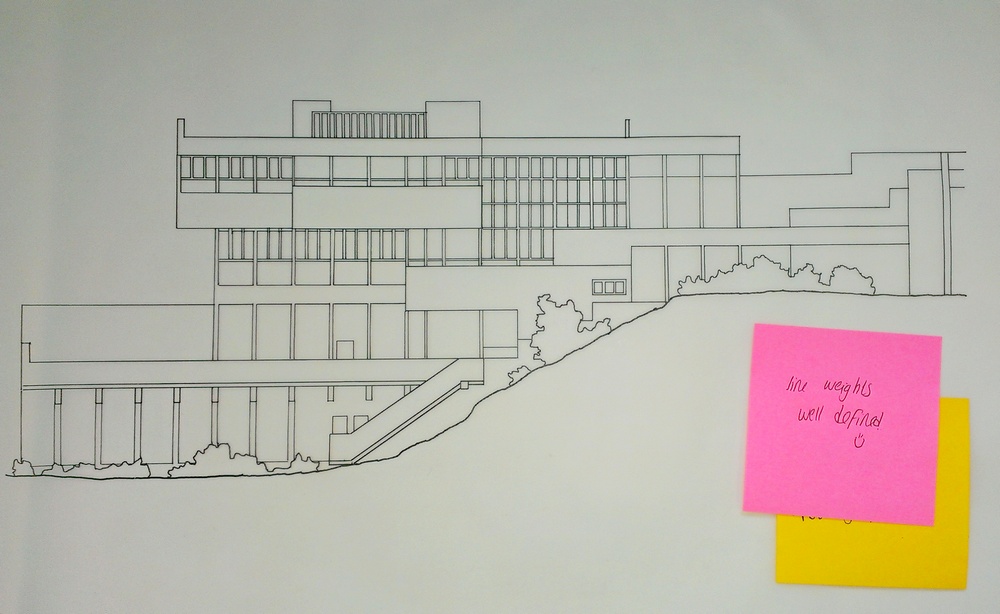
The drawing of the south elevation was quite straight forward as it was already printed in 1:100 scale all i had to do was trace it across using appropriate line weights. Choosing the right line thickness or weight is crucial for giving a 2D drawing a sence of depth. I have used a thick line for the base line and the section drawing of the hill to anchor the building in place. I have opted to use a medium line for the structural elements of the building and a fine line for the detailed elements and for the outline of the plants and trees etc.
The 3D elevation of from the Southwest perspective is a tracing taken from a photograph. I chose this photograph as it explains how the west and south elevations fit together. You can see from the 2D elevation that it is hard to make out the overhanging elements of the building. I have used a Technical pencil, Pen/brush and Ink, colouring pencil.
I have enjoyed this process and have learnt a lot from it. Receiving feedback from my peers has helped me explore ideas further, I am looking forward to using these processes and ideas in future projects.
Feedback
|
Pros
|
Cons
|
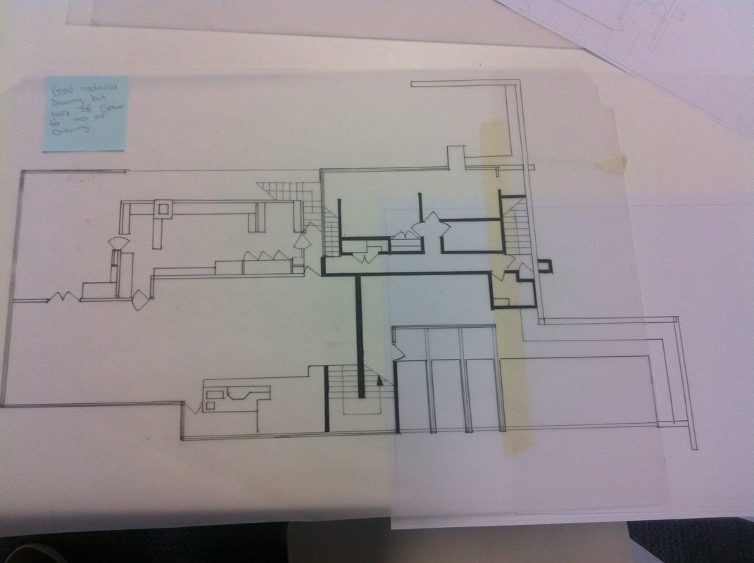
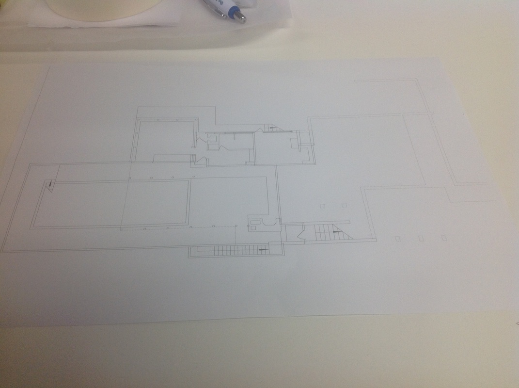
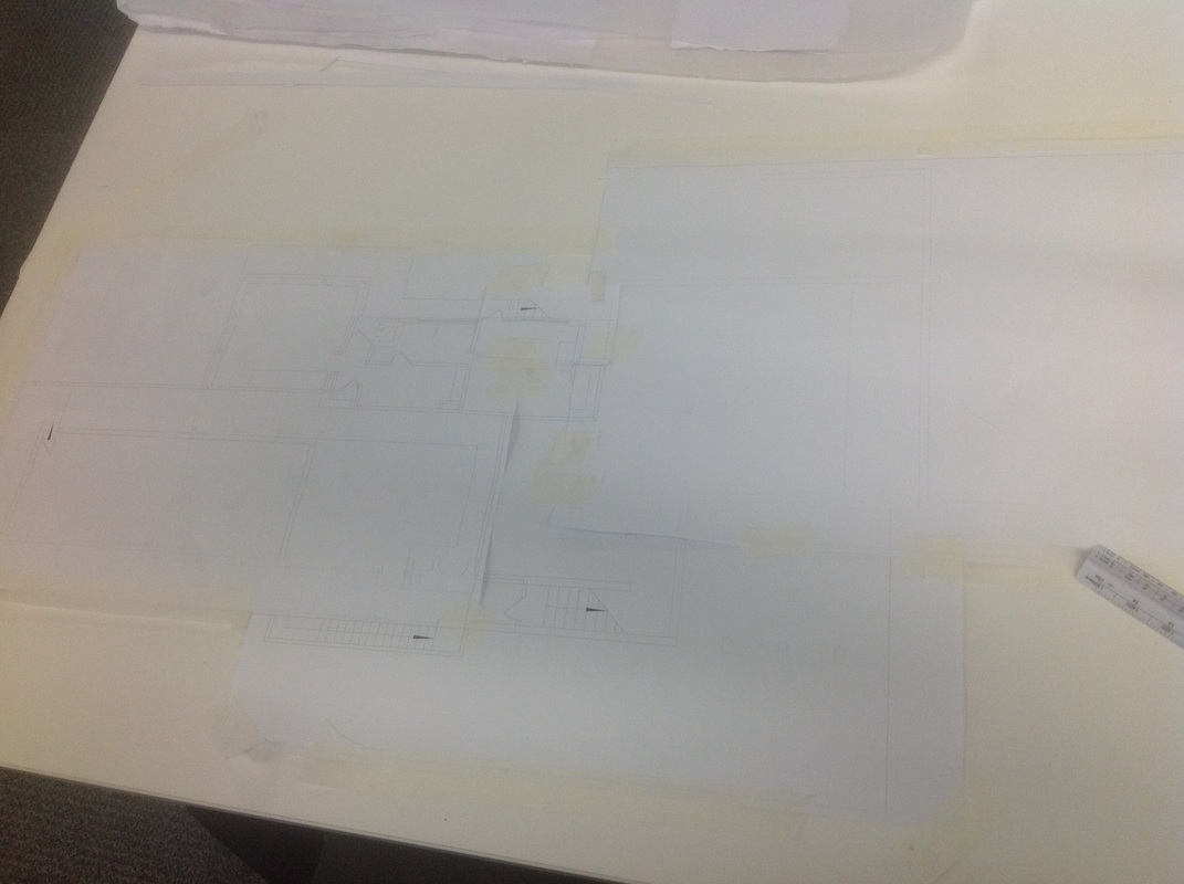
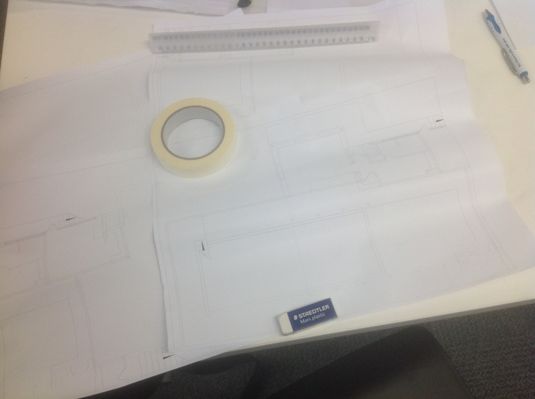
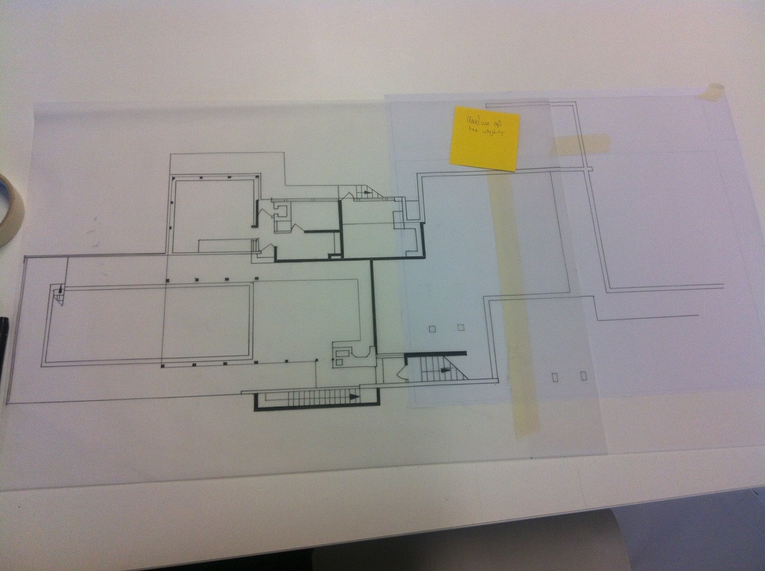
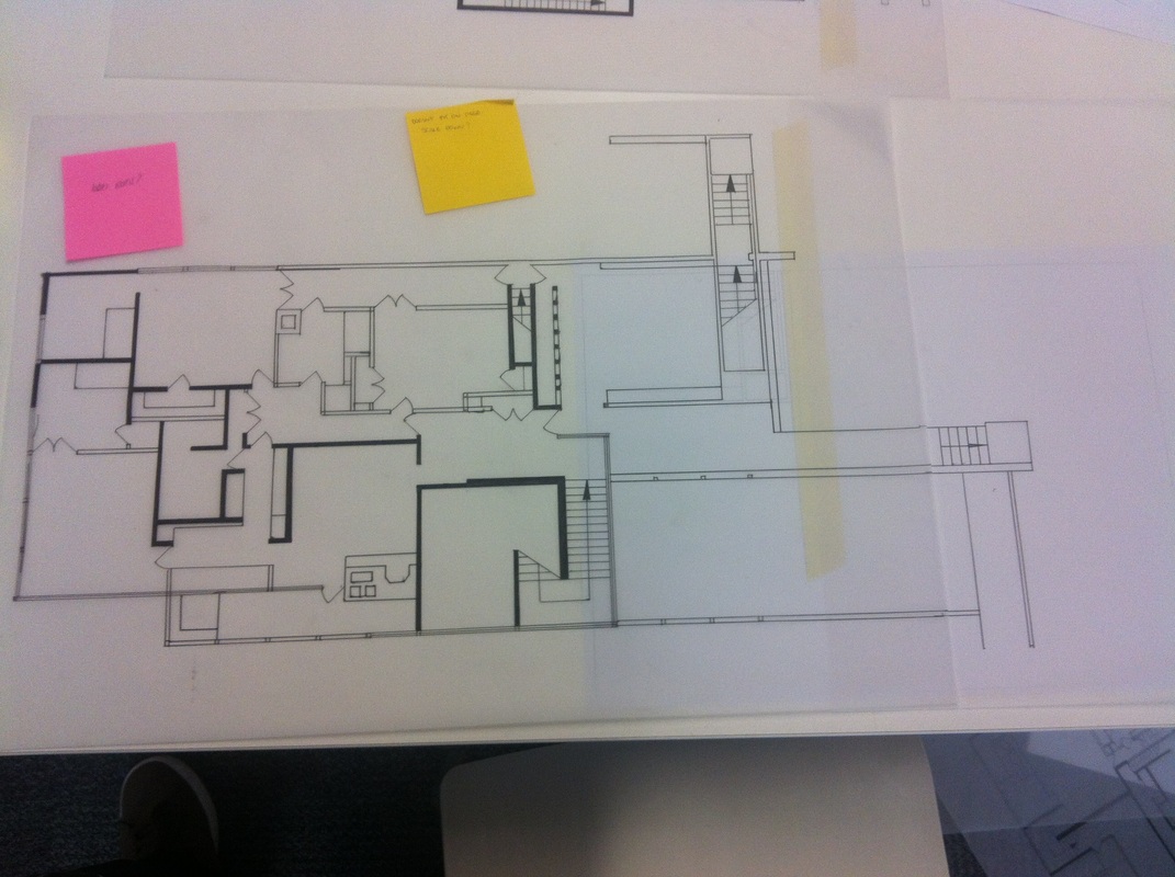
Floor Plans in 1:50 - Ryan
|
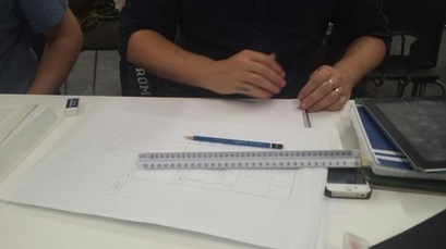
I'm Ryan Steed and I'm drawing, to scale, the floor plans for the Lovell house. I originally printed the floor plans in a 1:100 scale.
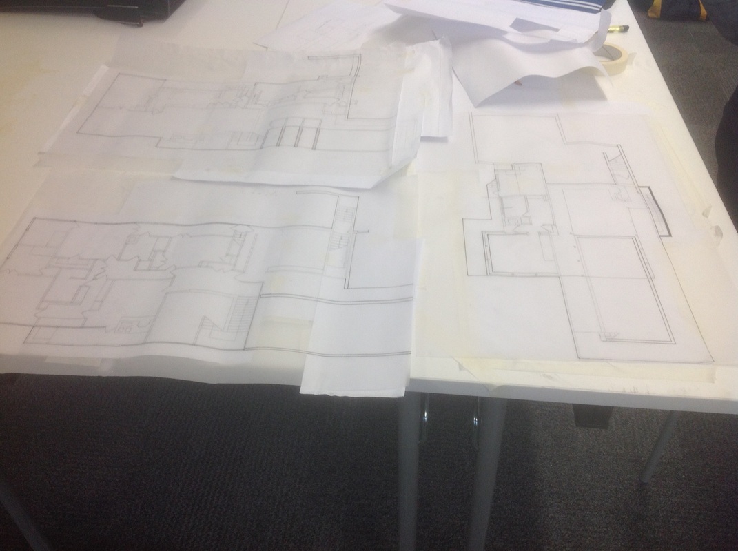
As you can see in the picture above left, the image is quite small and far from the 1:50 I needed but the reason I needed it in this size was I could use it sort of the same as a puzzle box that shows what the final imagine is supposed to look like. which brings me to the main plan of this project and that was cutting up and sticking the 1:50 image together with the image above as my helper. As you can from the above right image, I was able to finish my pencil drawings with a bit of inking editing ready for inspection and hopefully be told I haven't done it wrong, then I will move onto the final ink drawings. I enjoyed doing the floor plans. FeedbackPros
|
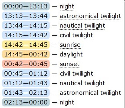
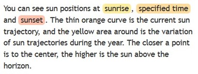
Sun tracking diagrams
|
Sun tracking diagrams for the Lovell house |
|
Sun tracking diagrams are used to chart the position and angle of the sun throughout the year at any given time, between sunrise and sunset. When designing any building it is crucial to consider the how the sun moves around the building, because it can have a dramatic effect on the environment within. Too much sun and the buiding may become too hot and too bright, not enough sun and the building may be too dark, possibly damp or cold. A lack of natural light and heat generated by the sun could lead to increase in artificial lighting and heating causing increased fuel costs and a less sustainable structure.
The Lovell house The lovell health house was commisioned by philip lovell an avid proponent of vegitarianism, exersize and nude sunbathing as well as open air sleeping. The buildings design aims to satisfy the clients needs through use of large areas of glazing to allow ample light into the structure combined with overhanging areas to provide shade at certain times of the day. The swimming pool is situated at the very front of the house and is semi recessed below the main living space of the house. |
|
Images courtesy of www.suncalc.net
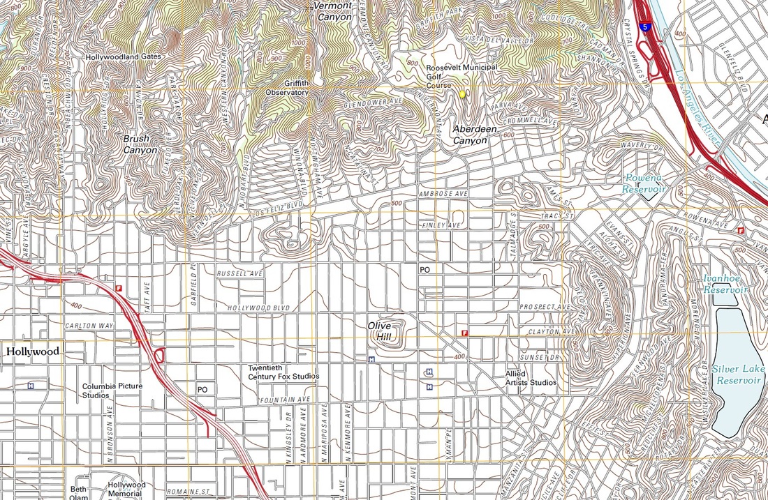
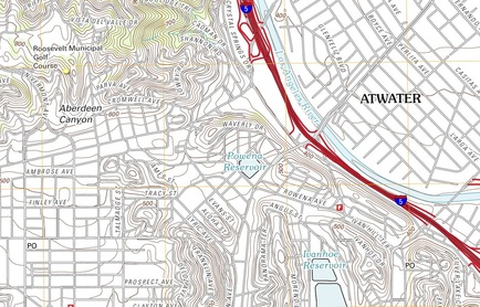
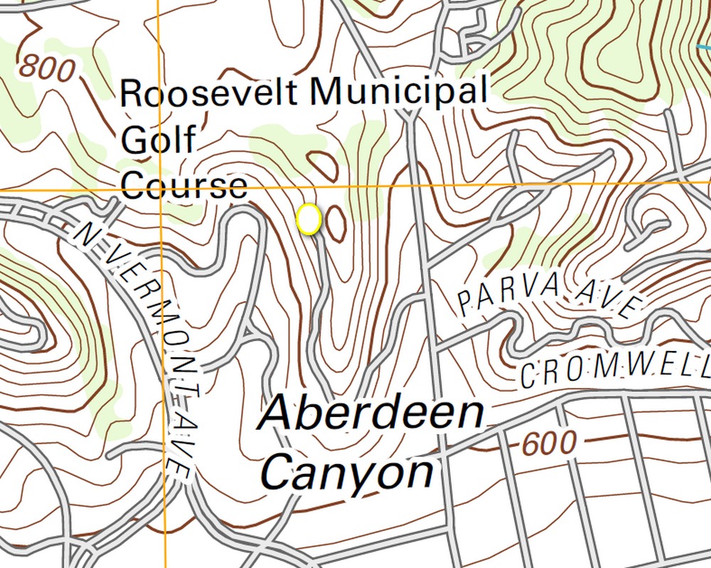
Topographical mapping of the site
Topographical maps show the shape and the rise and fall of the land. The Lovell house sits on a hillside to make the most of the available breeze and to offer the residents a great view of Los Angeles. Its orientation on the hill mean the south elevation of the building receive a large amount of natural light. Whilst the north facing elevation will receive very little, this is because of both the incline of the hill away from the house and the suns path east to west. The Yellow circles on the map below indicate the location of the Lovell house.
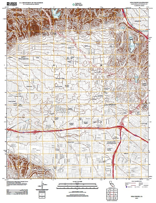
http://store.usgs.gov images courtesy of the US Geological Survey
http://store.usgs.gov images courtesy of the US Geological Survey
|
http://store.usgs.gov images courtesy of the US Geological Survey
|
http://store.usgs.gov images courtesy of the US Geological Survey
